Planning Proposal
A closer look at what the Planning Proposal is, what it seeks, and what it would and wouldn't change.
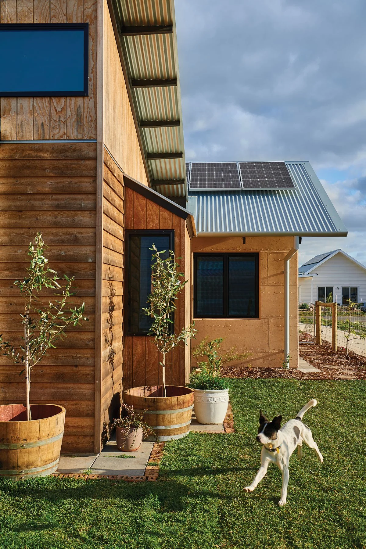
Image: Witchcliffe House, Witchcliffe Eco Village
What is a Planning Proposal?
A Planning Proposal is the formal first step in changing the planning rules for a piece of land. In New South Wales, what you can build on a site, and how big, tall and dense it can be, is set by a council's Local Environmental Plan (LEP). To do something the current rules don't allow, you have to ask for the LEP to be amended, and that request is a Planning Proposal.
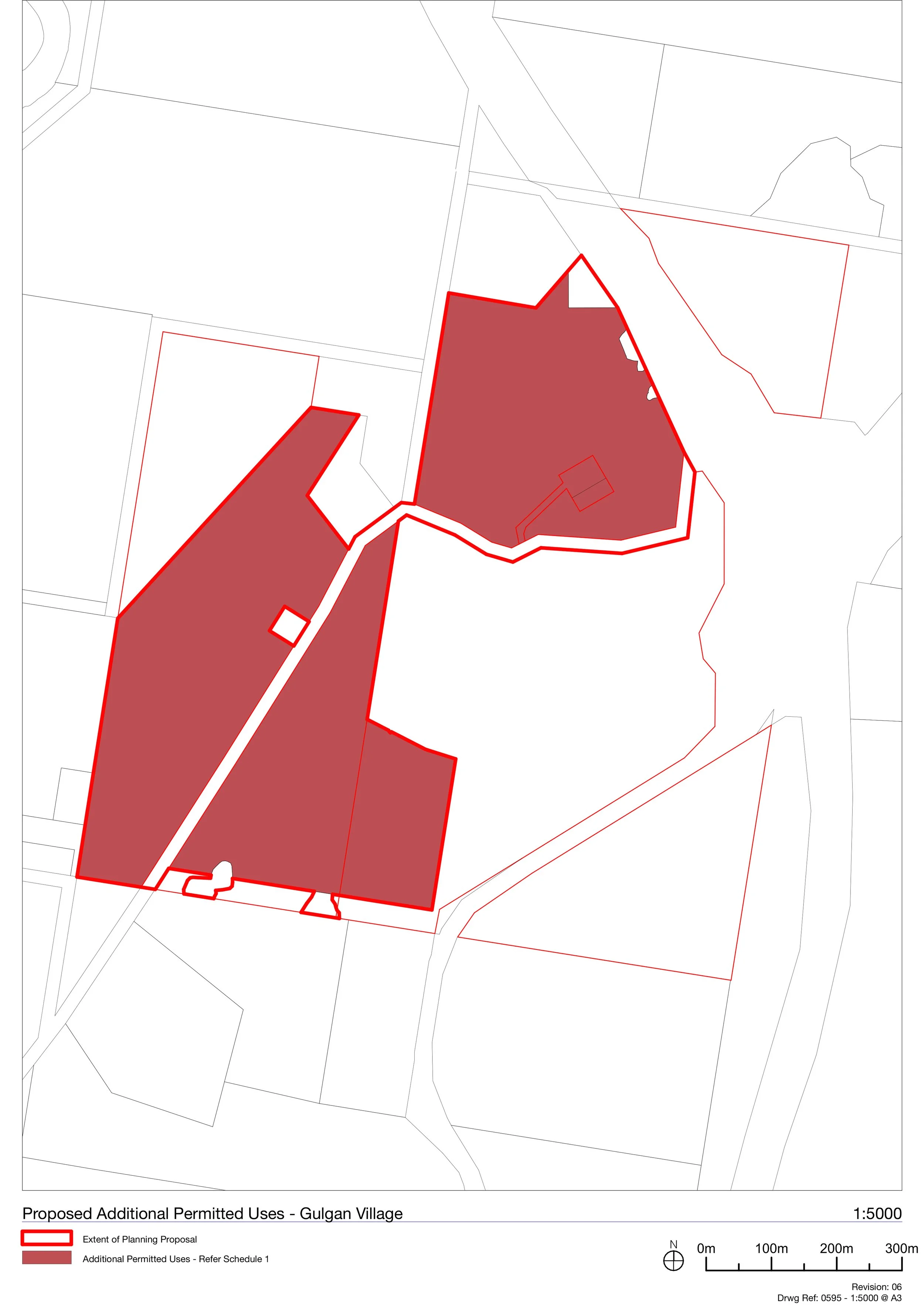
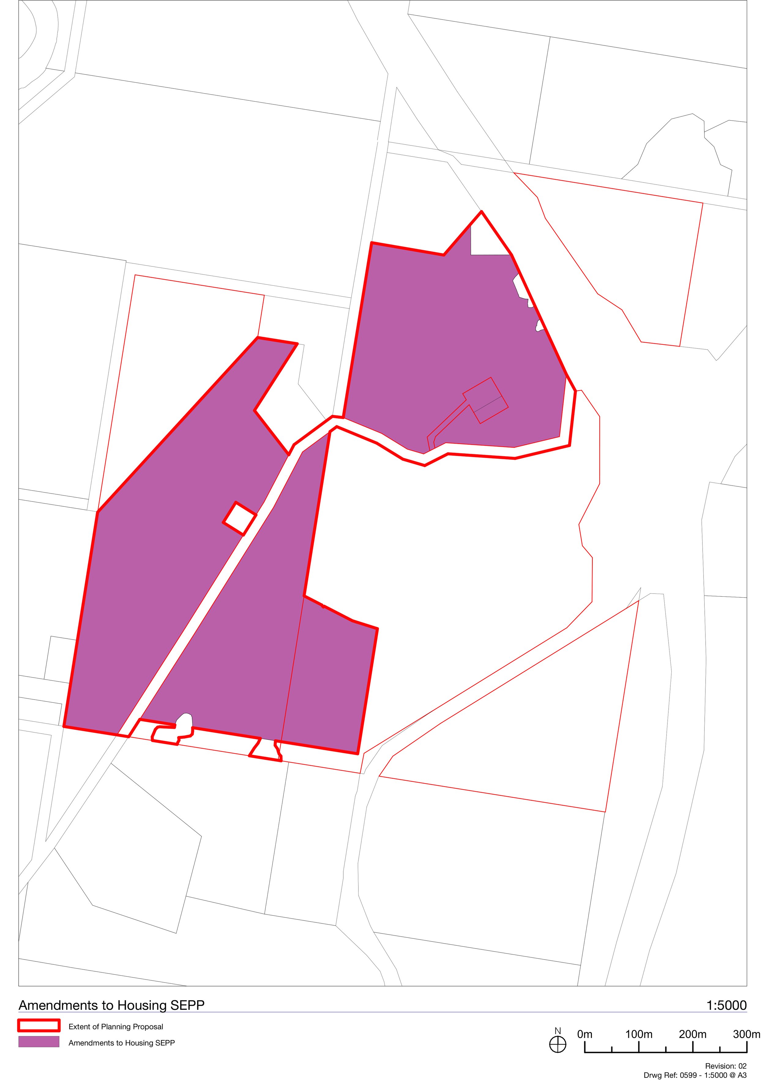
The Gulgan Village Planning Proposal asks the NSW Government and Byron Shire Council to amend the Byron Local Environmental Plan 2014 so that rural land on The Saddle Road can be rezoned and planned as a residential village.
If approved, the Planning Proposal changes the rules (the zones, heights, density and other controls) and sets the framework for a village here. It does not approve any building; construction still depends on later, separately-assessed approvals, each with its own opportunity for community input.
What the Planning Proposal seeks
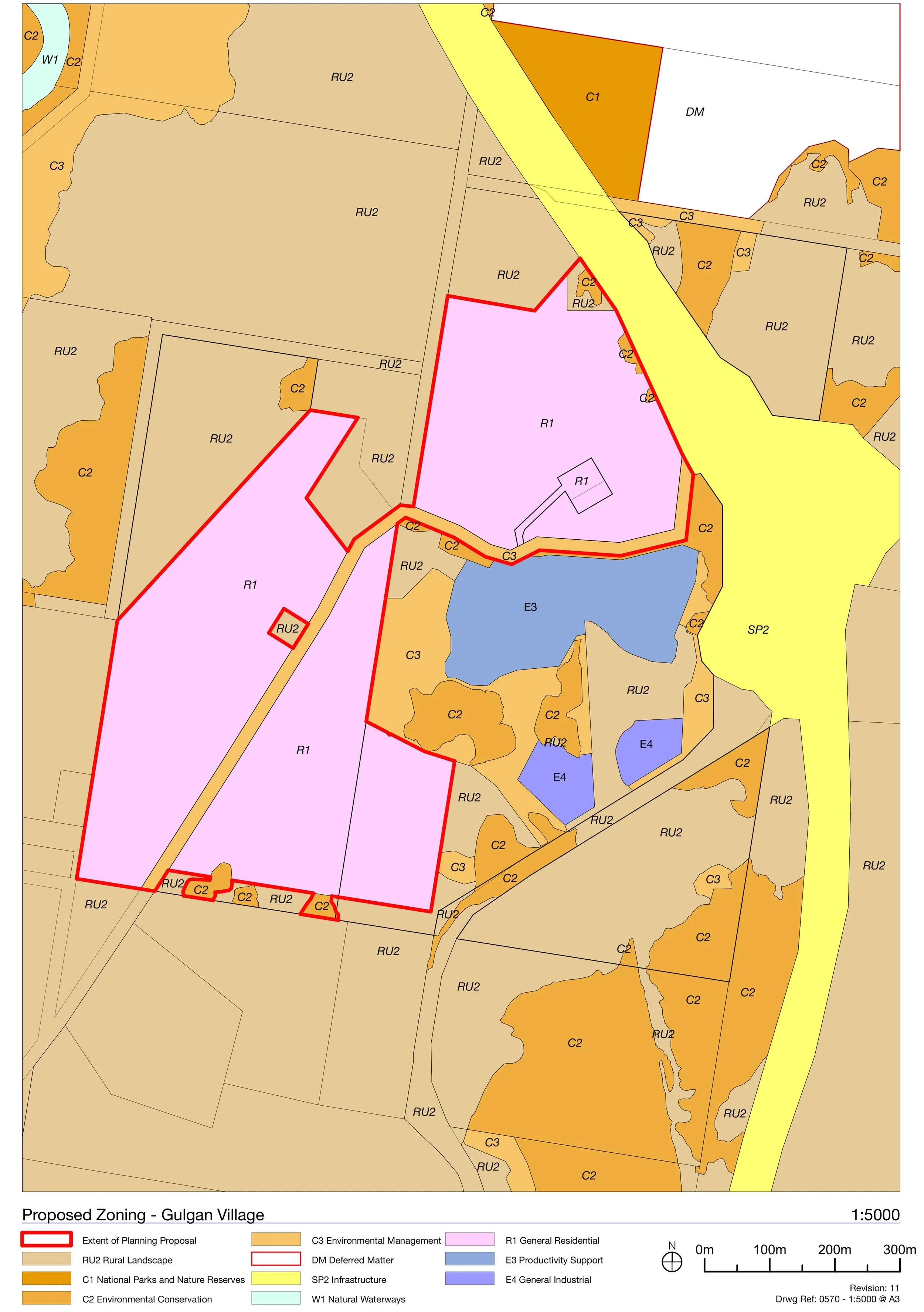
The proposal rezones rural land from RU2 Rural Landscape to a mix of residential and conservation zones (about 37.9 hectares of it to R1 General Residential) and sets the controls for a village of 400 to 550 homes.
What it changes
Currently
Proposed
Zoning
RU2 Rural Landscape (plus small areas of older "investigation" land)
A mix of R1 General Residential, C2 Environmental Conservation and C3 Environmental Management, with some RU2 retained
Building height
9 m
11.5 m on the residential (R1) land
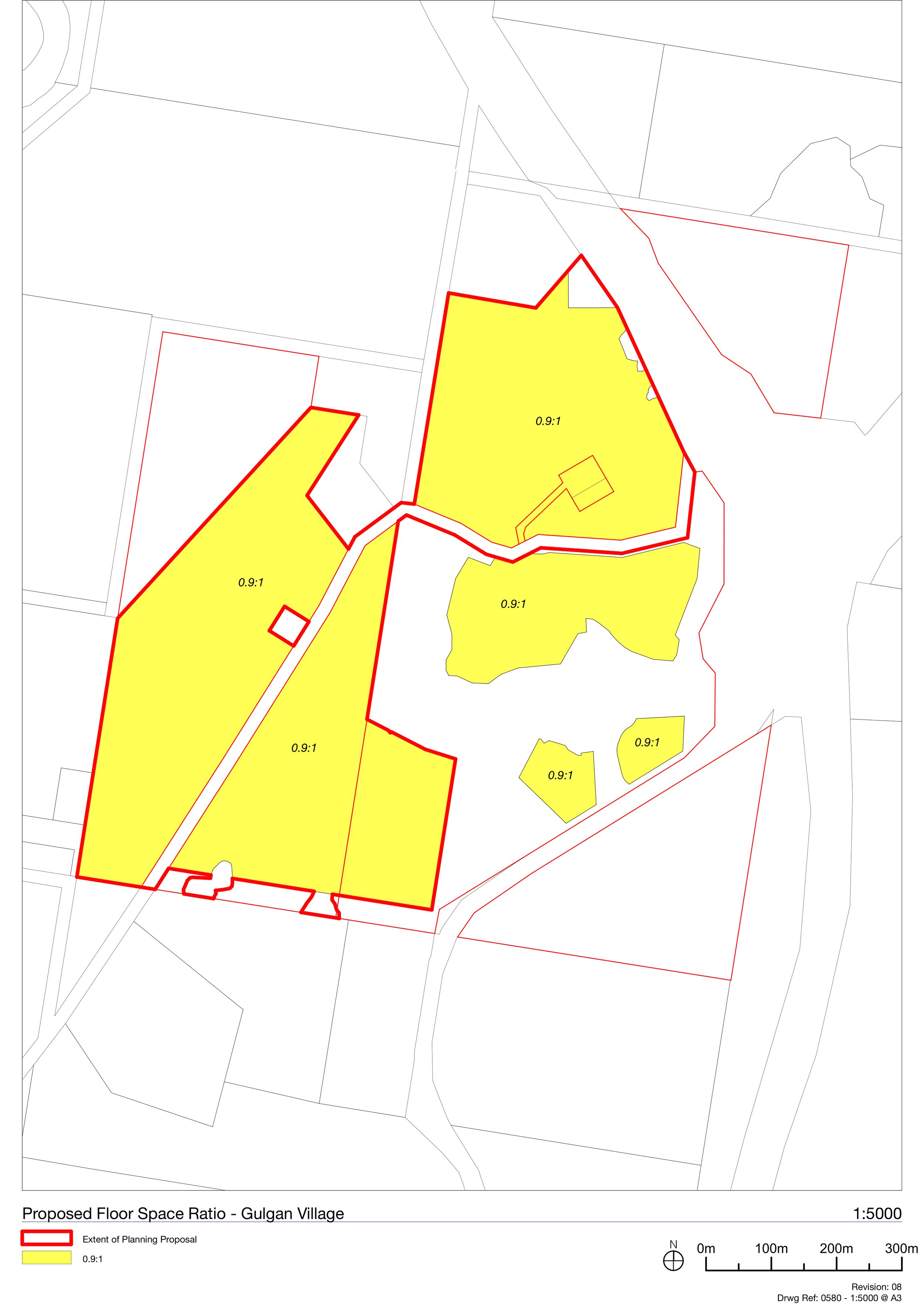
Floor space ratio
none
0.9 : 1 on the R1 land
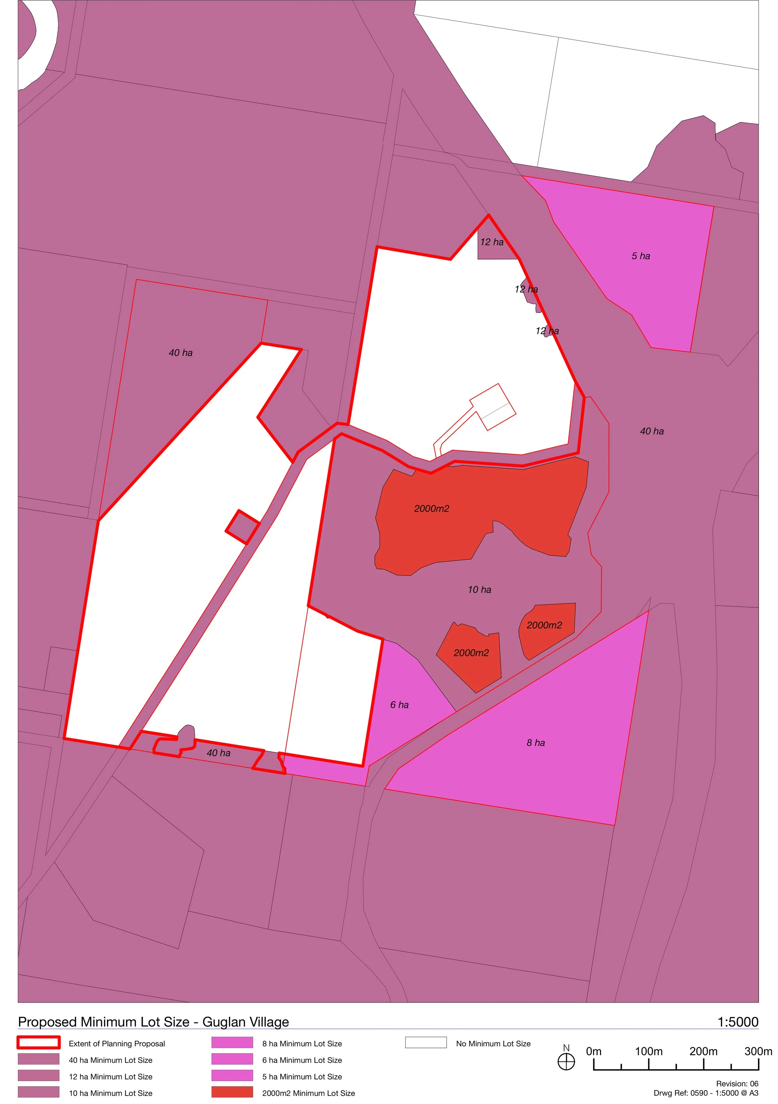
Minimum lot size
6 ha, 12 ha and 40 ha
No minimum on the R1 land (so smaller, more varied lots are possible)
Dwelling yield
–
A binding control of minimum 400, maximum 550 homes across the village
Permitted uses (residential zone)
–
Allow shops, cafés and restaurants, markets, kiosks, information and education facilities, and water supply systems in the village
Additional permitted uses
–
Allow business premises, recreation facilities and exhibition villages
Urban Release Area
–
Identify the land as an Urban Release Area, which triggers extra planning steps before development
Road access
–
A control protecting safe movement on Gulgan Road
Manufactured homes
–
Amend the State Housing Policy so manufactured home estates are allowed here, while caravan parks are not
In detail, it seeks the following amendments to the Byron LEP 2014:
Slideshow1: Existing LEP Controls


Slideshow 2: Proposed LEP Controls
The Precincts
The village is organised into eight precincts: seven that contain housing (A to G) and one (H) holding the conservation and environmental land. Each has a distinct role, shaped by its topography, outlook and place in the village. The precincts are defined in detail in the Development Control Plan (see the DCP page). The summary below shows how the homes are distributed:
Precinct
Role
Indicative homes
A
Group Homes — an existing, approved not-for-profit supported-accommodation facility
—
B
North-east residential — lower-cost homes, including a possible manufactured-housing precinct
60–140
C
Hilltop East — terraces and apartments around a community hub
24–60
D
West of the connector street — the broadest mix of housing
80–150
E
East of the connector street — larger lots and co-housing around shared open space
40–60
F
Residential West — the greatest variety of dwelling types
105–220
G
Mixed-Use West — the village heart: shops, cafés and community uses with homes above
50–95
H
Environmental Management — conservation, habitat and rural landscape (no housing)
—
The residential precincts (A–G) share the same headline LEP controls: a maximum height of 11.5 m, a floor space ratio of 0.9:1, and no minimum lot size. The home numbers are indicative ranges, the binding control is the village-wide total of 400 to 550 homes, so not every precinct can reach its maximum at once. The village centre in Precinct G also allows for up to around 1,200 m² of shops and commercial space.
Precinct + Staging plan
-
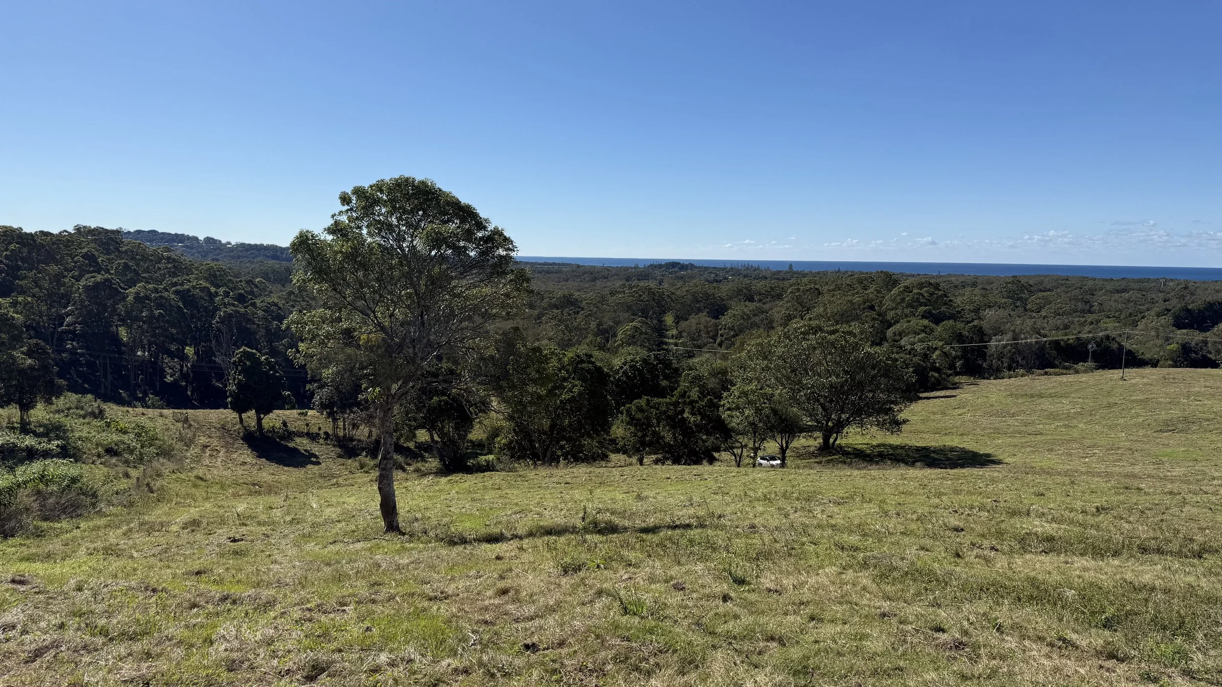
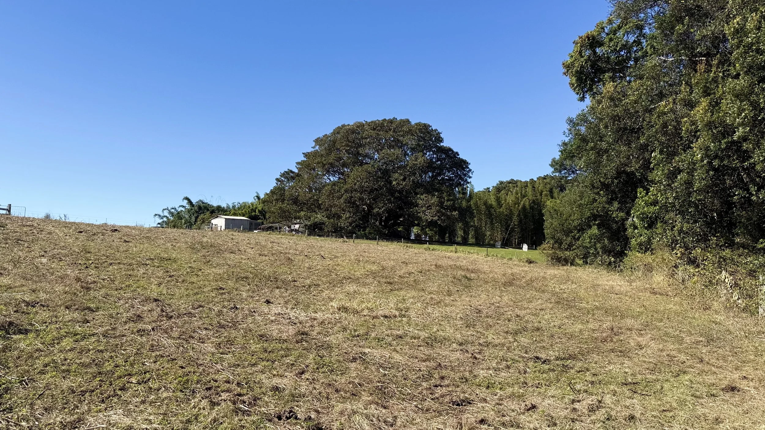
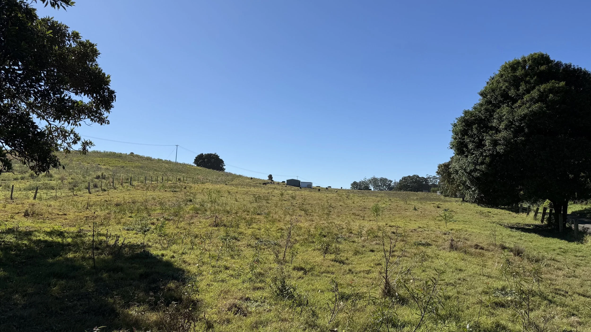
![Open grassy field with sparse trees, dense forest in the distance, blue ocean beyond the trees, and a clear blue sky overhead on The Saddle Road, Gulgan Village.]()
Precinct 1
View north to ocean
-
![Precinct 1]()
Precinct 1
View south east to tanks
-
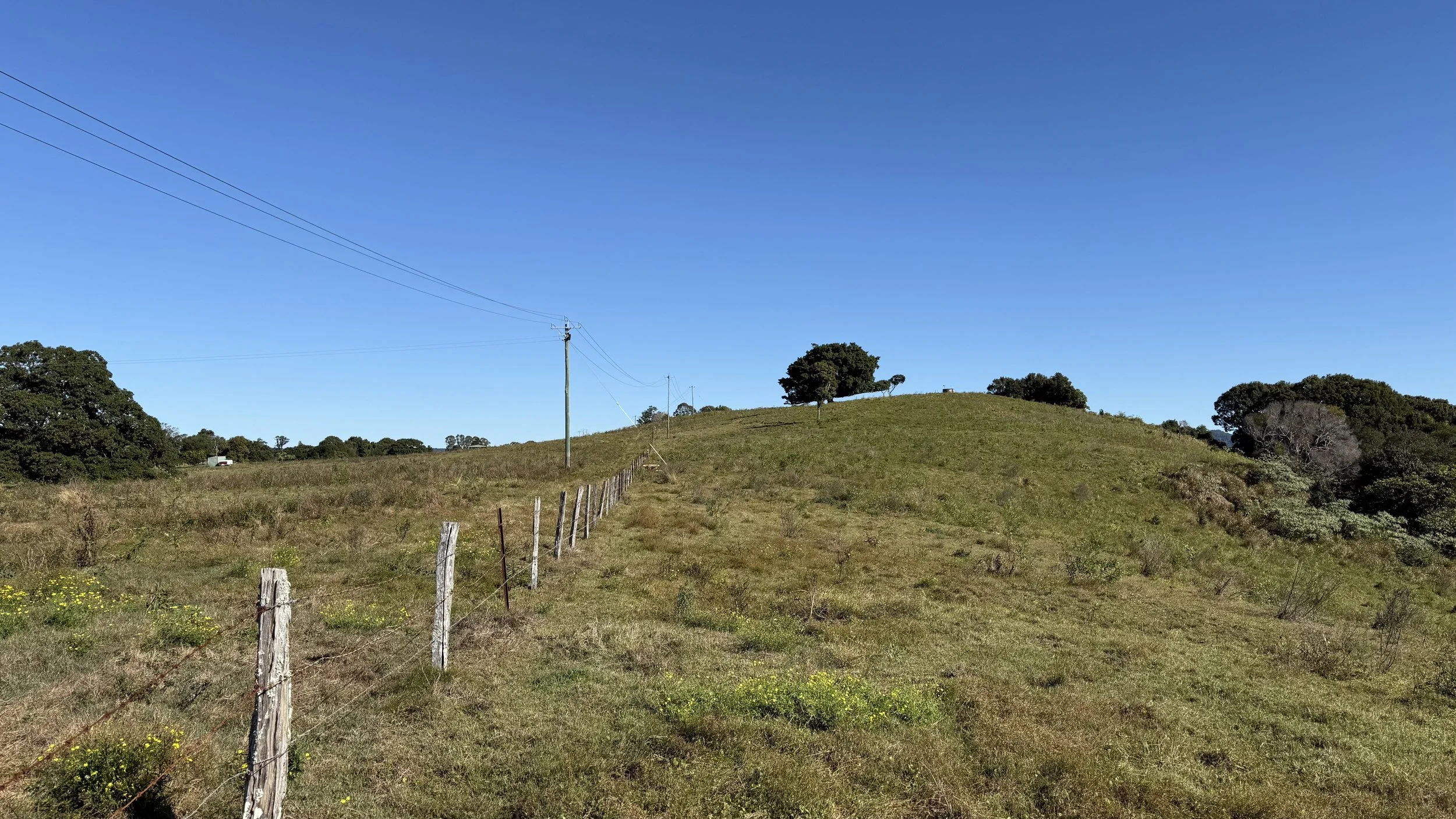
![A rural landscape with a clear blue sky, green grass in the foreground, and a hillside with trees and a few small buildings or sheds in the background on The Saddle Road, Gulgan Village.]()
Precinct 1
View south west up hill
-
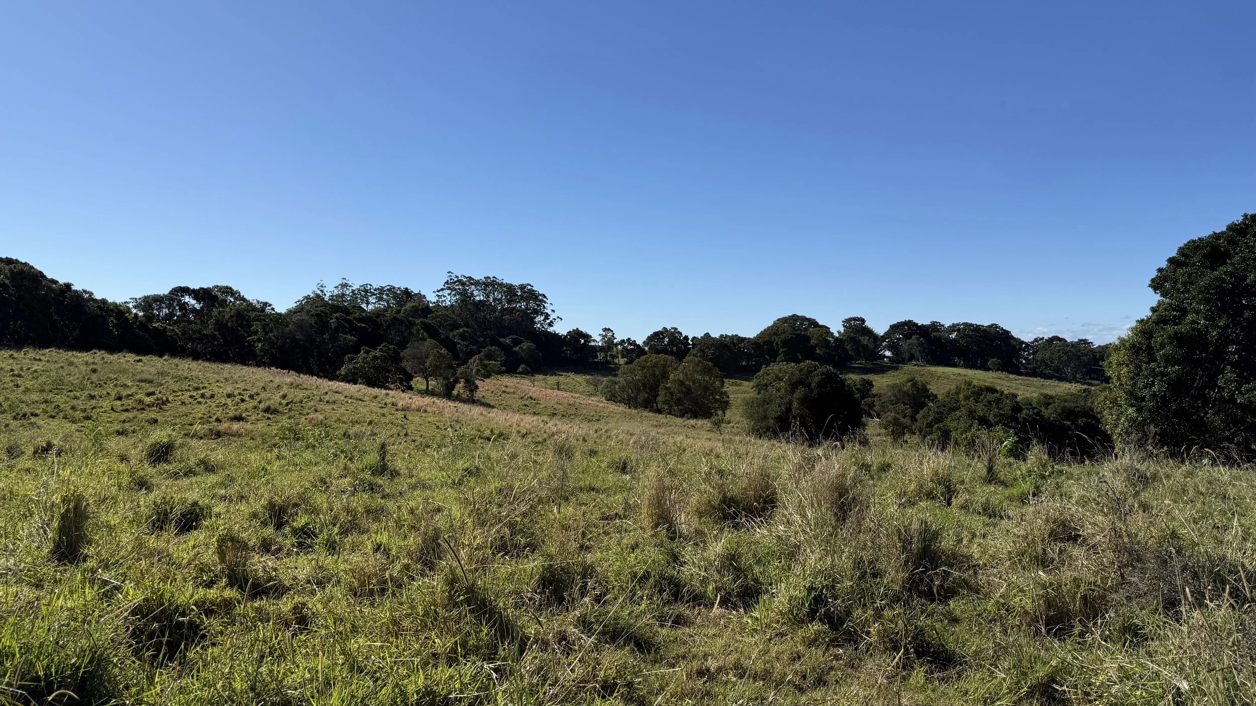
![Landscape of grassy field with scattered trees, dense forest in the background, and blue sky with a few clouds on The Saddle Road, Gulgan Village.]()
Precinct 2
View downhill to Precinct 2
-
![A grassy hillside with trees and a small building in the distance under a clear blue sky on The Saddle Road, Gulgan Village.]()
Precinct 2
View west to vegetation clusters
-
![Open field with dry grass, large trees, a small white building, and a clear blue sky on The Saddle Road, Gulgan Village.]()
Precinct 3
View East to large fig tree
-
![A wide open outdoor field with green grass, bordered by a line of trees under a clear blue sky, with some wooden fences in the distance on The Saddle Road, Gulgan Village.]()
Precinct 3
View north, The Saddle Road in the background
-
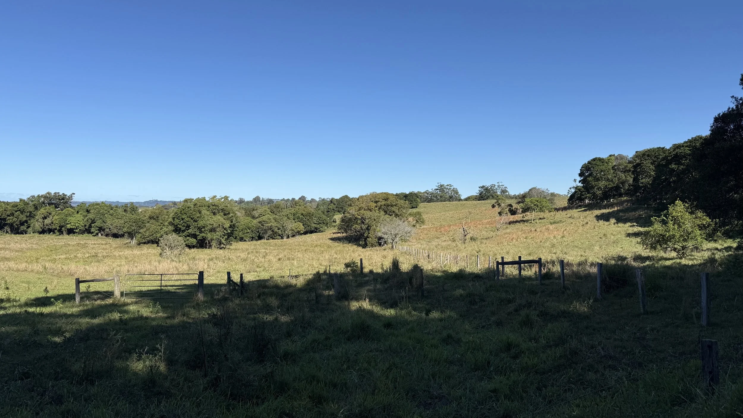
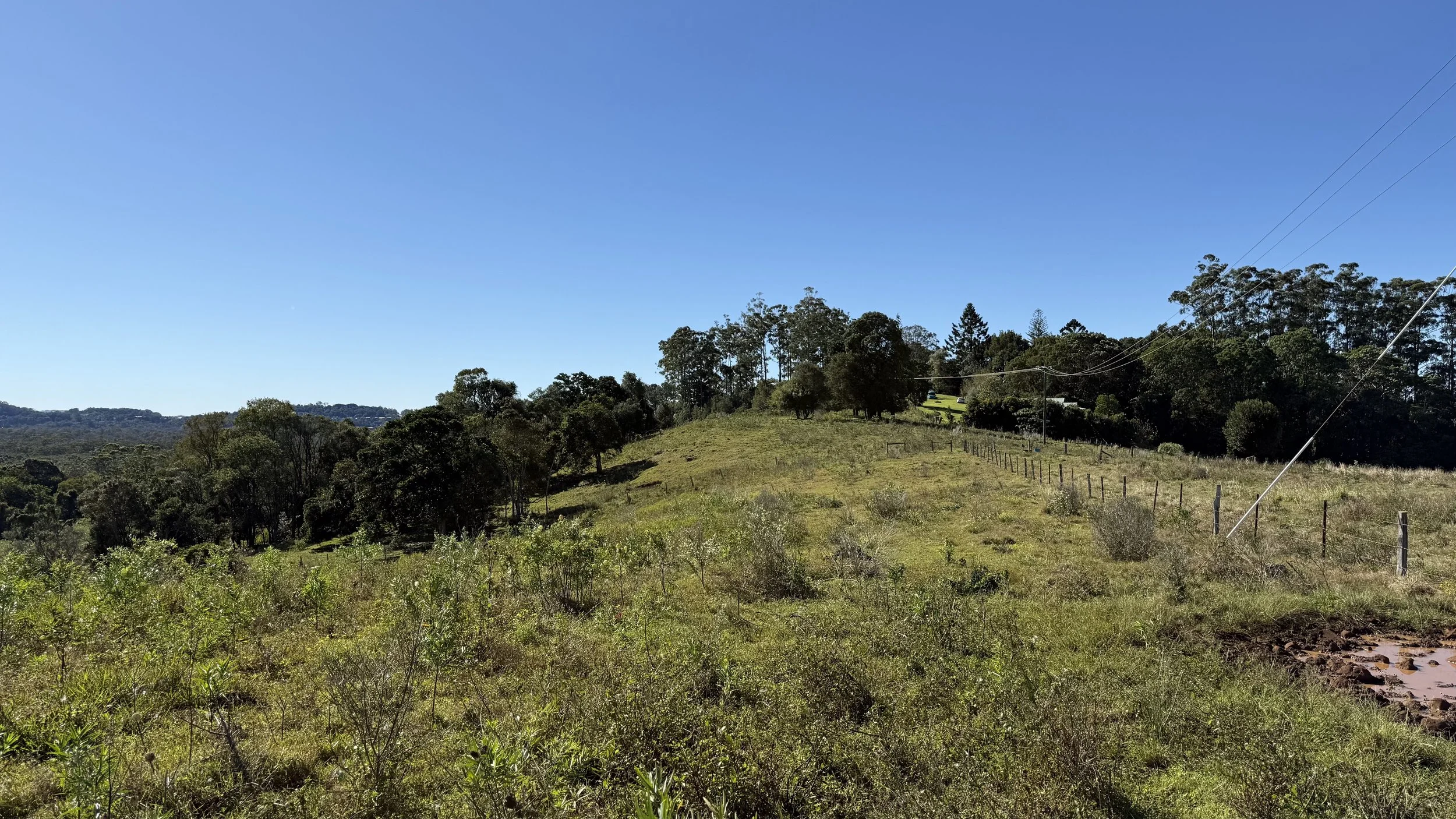
![A scenic landscape of rolling grassy fields and scattered trees under a clear blue sky on The Saddle Road, Gulgan Village.]()
Precinct 4
View north
-
![A landscape of open grassy fields with scattered trees, some hills, and a bright blue sky overhead on The Saddle Road, Gulgan Village.]()
Precinct 4
View south
-
![A landscape of lush green trees and grass with a clear blue sky and distant ocean on the horizon on The Saddle Road, Gulgan Village.]()
Precinct 5
View east
-
![Green grassy field with trees on either side under a clear blue sky on The Saddle Road, Gulgan Village.]()
Precinct 6
View north
-
![A rural landscape with a grassy hill, scattered trees, a fence running along a dirt path, and a blue sky with a few power lines on The Saddle Road, Gulgan Village.]()
Precinct 6
View south
-
![A grassy hillside with bushes and trees, clear blue sky, and power lines running through the image on The Saddle Road, Gulgan Village.]()
Precinct 7
View north
-
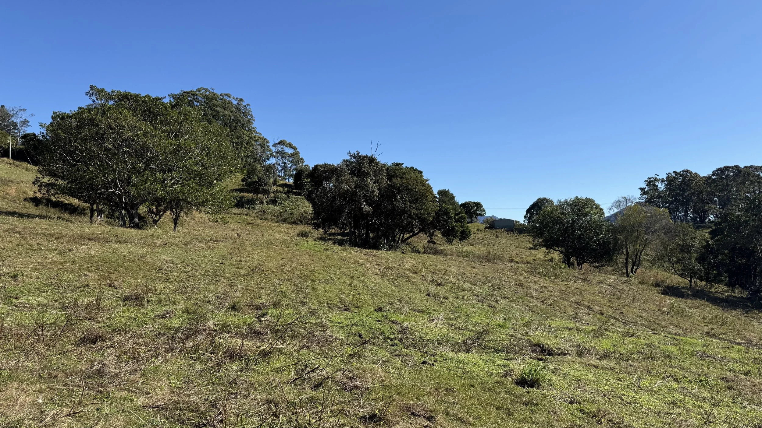
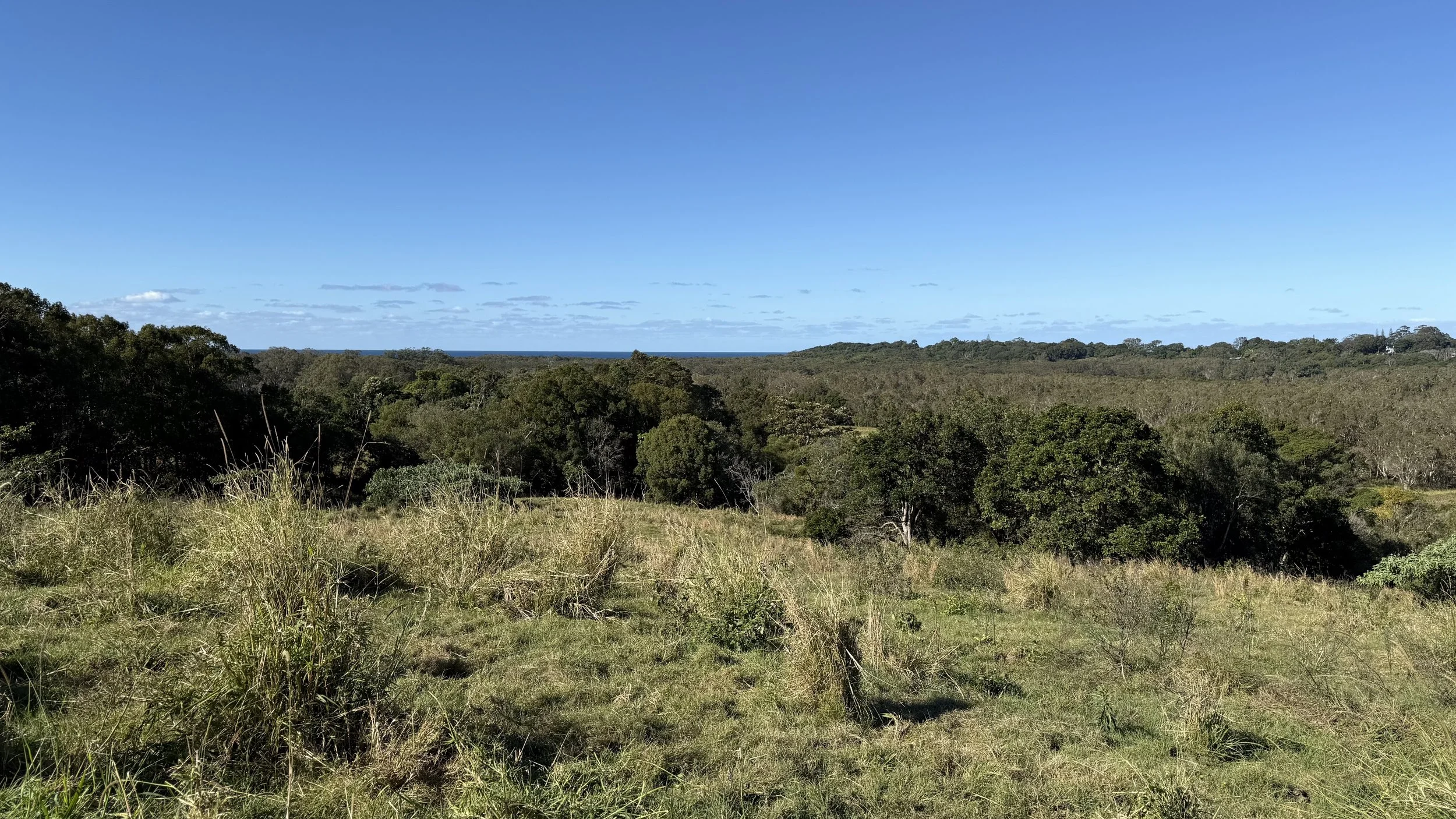
![A landscape with green trees in the foreground, hills and mountains in the background, and a clear blue sky on The Saddle Road, Gulgan Village.]()
Precinct 8
Long view over precinct 8 to Chincogan & Wollumbin
-
![A grassy hill with trees and a clear blue sky on The Saddle Road, Gulgan Village.]()
Precinct 8
West of Precinct 1, preservation of hilltop
-
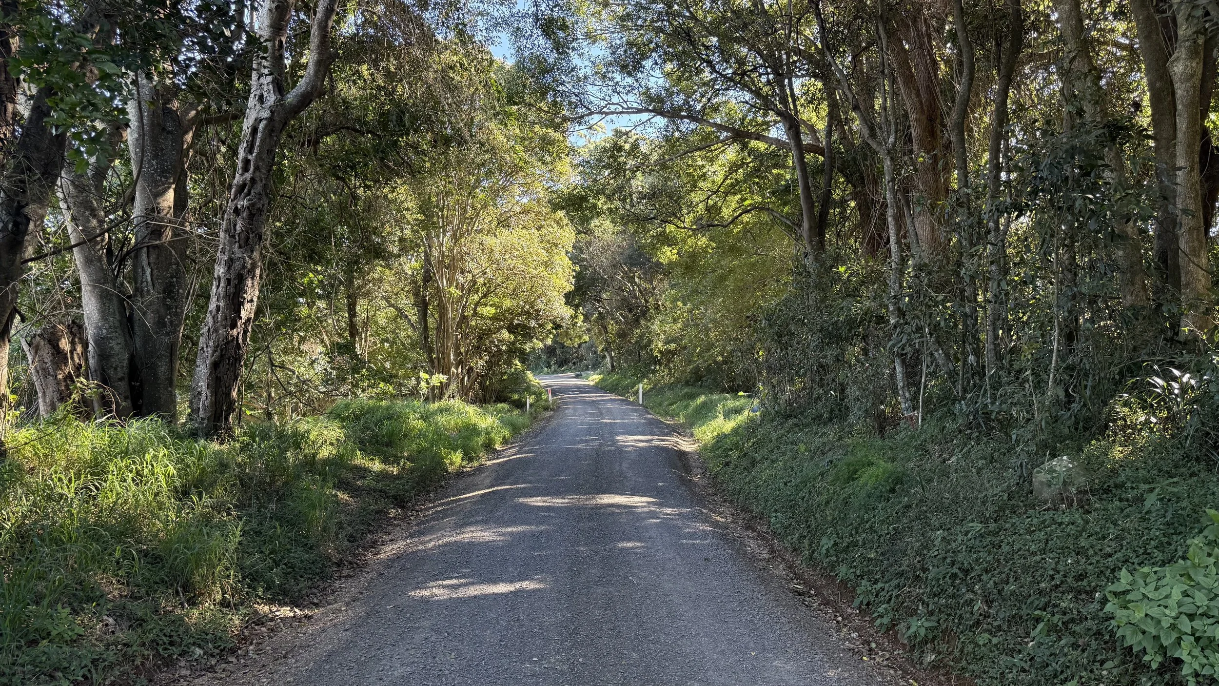
![A narrow dirt road winding through a dense, leafy green forest with trees overhanging on both sides and sunlight filtering through the foliage on The Saddle Road, Gulgan Village.]()
Precinct 9
Protected green spine


The Studies behind the Proposal
The proposal is supported by a suite of independent technical studies that test the site's conditions and shape the response. In summary:
Ecology
Development is directed onto already-cleared paddocks, avoiding high value vegetation. Impacts are assessed as minor, all threatened plants are to be retained, no koalas were found on site, and revegetation is proposed to achieve a net gain for biodiversity.
Bushfire
The site is in an area of reduced bushfire risk; the required protection measures are achievable and meet the NSW Planning for Bushfire Protection 2019 standard.
Traffic
Access can be provided safely via a new Gulgan Road roundabout and a Bashforths Lane junction; the village's traffic is manageable on the surrounding network.

Image: Active Swale at Habitat Byron Bay
Noise
Motorway and road noise can be managed through layout, orientation and construction so that homes meet the relevant internal comfort standard.
Visual impact
The village will be visible from some local vantage points but is imperceptible from iconic distant views; with careful design it sits comfortably within the local character.
Aboriginal cultural heritage
Undertaken with Arakwal involvement; cultural values across the site are identified and the design seeks to avoid and protect them, refined further at the development stage.
Agriculture
The land is poor-quality grazing land (around 72% the lowest agricultural class); rezoning will not meaningfully affect regional farming.
Engineering & infrastructure
The site is serviceable for water and sewer and sits entirely above flood level; on-site stormwater detention ensures the development doesn't worsen downstream flows.
Land-use conflict
The risk of conflict with neighbouring rural activity is minor and manageable with appropriate buffers.
Contamination
A preliminary investigation confirms the land is suitable for residential use.

Image: Annerley House by zuzana&Nicholas architects. CFJ Photography
Voluntary Planning Agreement
Alongside the Planning Proposal sits a Voluntary Planning Agreement (VPA) — an agreement with Byron Shire Council under which the developer commits to deliver public benefits in connection with the rezoning.
Public infrastructure. Under the agreement, the developer would design, build and hand over to Council: water supply connections and reticulation for the village; sewerage works, including at least one on-site sewer pump station and rising main; a dual-lane roundabout on Gulgan Road; and an intersection for the northern entry from Bashforths Lane. The agreement also dedicates land to Council for a new water reservoir and for the sewer pump station.
Affordable housing. Byron Shire Council runs an Affordable Housing Contribution Scheme — a mechanism that asks new development to contribute homes for people on very low, low and moderate incomes, including the essential workers and families increasingly priced out of the Shire. Under the agreement, Gulgan Village commits 5%, provided as serviced residential land or built homes and managed as affordable housing by Council or a community housing provider.
A further 5% will be provided directly to the Bundjalung of Byron Bay (Arakwal) Aboriginal Corporation to support housing on Country — a separate, agreed commitment that sits outside the Affordable Housing Contribution Scheme.
In addition, ~1.5 hectares of land has been dedicated in perpetuity to the not-for-profit entity Byron Shire Community Housing, for the development of group homes for women and children. Learn more here.

Image: Anne St Villas by Anna O’Gorman. CFJ Photography